Business Details
50+ Years
experience
Expert Land Surveying Services in British Columbia
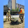
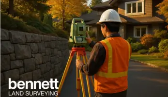
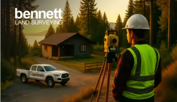
Bennett Land Surveying has been serving British Columbia since 1970, providing precise and reliable land surveying solutions for residential, commercial, and public sector clients. Our team of certified professionals combines decades of local and international experience with state-of-the-art technology to deliver accurate property line determinations, construction surveys, and specialized services like drone surveying and 3D scanning. With offices across the Lower Mainland, Vancouver Island, Okanagan, and Sunshine Coast, we offer comprehensive coverage and localized expertise to support projects of all scales. Our commitment to innovation ensures clients benefit from efficient workflows using advanced tools such as UAV photogrammetry and digital mapping systems. As members of The Association of British Columbia Land Surveyors, we uphold the highest industry standards while maintaining a client-focused approach that prioritizes clear communication and timely execution.Whether handling individual lot surveys or complex development projects, our team delivers tailored solutions that meet regulatory requirements and exceed expectations. Our long-standing reputation for professionalism is evidenced by enduring client relationships, including partnerships with construction firms that have relied on our services for over five years. We specialize in creating peace of mind for property owners through meticulous attention to detail and a dedication to progressing client objectives profitably. Our services extend to mortgage certificates, renovation planning, subdivision designs, and statutory right-of-way documentation, ensuring comprehensive support throughout property transactions and developments. By maintaining offices in key locations like Vancouver, Victoria, Kelowna, and Squamish, we combine regional accessibility with province-wide expertise to serve diverse client needs efficiently.

Services
Air Space Plans
As-Built Surveys
Building Location Certificates
Construction Surveys
Drone Surveying
Property Lines
Restrictive Covenants
Strata Plans
Topographic Surveys
3D Scanning
Details
- Year established: 1970
Highlights and features
- We have over 50 years of land surveying experience in British Columbia
- Our 14 regional offices provide province-wide coverage and local expertise
- We utilize state-of-the-art UAV photogrammetry and digital mapping systems
- All surveyors are certified by The Association of British Columbia Land Surveyors
- We serve both residential and commercial clients with tailored solutions
Associations and certifications
- The Association of British Columbia Land Surveyors
What people say
On schedule
Professional
Easy to deal with
Operate at the level Bennett does
Services
Drone Surveying
Our drone surveying service utilizes Unmanned Aerial Vehicles equipped with advanced sensors to create precise topographic maps and volumetric calculations. This technology enables efficient data collection for projects of all sizes while maintaining high accuracy standards. Clients benefit from reduced field time and cost-effective solutions for complex surveying challenges across British Columbia.
Building Location Certificates
We provide official Building Location Certificates required for property transactions, showing precise property boundaries and structural positions relative to legal plans. Our surveys include detailed research of land title records and use modern equipment to ensure compliance with banking and municipal requirements for residential and commercial properties.
Construction Surveys
Our construction surveying service establishes accurate reference points and layout markings for new developments using digital data and field verification. We support builders throughout the construction process with precise measurements for foundations, utilities, and structural components to ensure compliance with approved plans and zoning regulations.
Property Lines
We conduct comprehensive boundary surveys to determine exact property lines using historical records and modern measurement tools. Our services help resolve disputes, support property transactions, and ensure compliance with legal descriptions while documenting any encroachments or easement requirements for landowners across British Columbia.
Topographic Surveys
Our topographic surveys create detailed representations of natural and man-made features on properties, including elevation changes and surface details. These surveys support development planning, renovation projects, and environmental assessments with accurate data collection using advanced surveying instruments and digital processing techniques.
Questions
What surveying services do you offer in British Columbia?
We provide property boundary surveys, construction surveys, drone mapping, building location certificates, topographic surveys, subdivision plans, and 3D scanning services across BC.
How can I request a surveying quote?
Contact our Vancouver headquarters or regional offices directly via phone, or use our online request form to get a free quote for your surveying needs.
Which areas do you serve?
We operate across British Columbia with offices in Vancouver, Victoria, Kelowna, Surrey, Coquitlam, Nanaimo, and other key locations from the Lower Mainland to Vancouver Island.
Are your surveyors certified?
All our surveyors are certified members of The Association of British Columbia Land Surveyors, ensuring professional standards and regulatory compliance.
How does drone surveying benefit my project?
Drone technology enables faster data collection, reduced costs, and detailed aerial mapping while maintaining high accuracy for land development and construction projects.